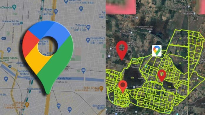
Under the blazing Tamil Nadu sun, a quiet revolution hums through smartphones. Farmers, students, officers, and curious residents tap into a digital portal once buried in dusty ledgers. The TamilNilam Geo-Info app brings the land beneath your feet into the palm of your hand, transforming ownership clarity forever. It’s no ordinary utility but a gateway to a transparent earth.
Bridging Gaps in Rural Access
For decades, rural communities navigated miles to taluk offices just to verify a land sketch. Misplaced documents bred boundary disputes. Now, a farmer seated under a neem tree can check the FMB (Field Measurement Book) map in seconds. TamilNilam Geo-Info shortens distances, saving diesel costs and wasted days. It ensures technology respects the village pace.
Empowering Officials Beyond Desks
Village administrative officers once juggled paper maps, handwritten notes, and constant corrections. Mistakes invited political headaches. Through this app, they instantly view digital village maps with layered cadastral data. Updating encumbrances or confirming survey numbers becomes less error-prone. Administrative staff now rely on verified coordinates instead of faded sketches.
Real Estate Clarity at Fingertips
Potential buyers previously trusted brokers blindly, risking dubious plots with overlapping claims. TamilNilam Geo-Info redefines real estate due diligence. Anyone can check exact plot dimensions, ownership history, and survey updates. Before writing a cheque, an investor confirms legitimacy, curbing fraud. The app has shifted power towards informed transactions.
Boosting Student Research
Agricultural colleges in Tamil Nadu encourage field surveys as part of their curriculum. Earlier, students mapped small parcels manually, seeking permission to access government records. Today, a digital snapshot of entire villages feeds academic projects with authentic data. With TamilNilam Geo-Info, students gain hands-on skills in reading village maps and verifying land details, strengthening their understanding of geospatial data.
Enabling Local Dispute Resolution
Land conflicts often stagnate in courtrooms for years, eating away savings. Through geo-referenced layers, TamilNilam Geo-Info gives villagers credible maps during panchayat meetings. Families now compare digital records to settle boundaries amicably. Many petty disputes dissolve before lawyers draft the first notice, saving money and social ties.
Supporting Disaster Relief Planning
Tamil Nadu’s coastline often faces harsh storms and relentless floods, challenging local communities time and again. When calamity strikes, pinpointing land parcels for damage assessment used to slow aid. Now, field officers use the app to check whose farmland was inundated. Relief distribution speeds up, ensuring the genuinely affected receive support faster. TamilNilam Geo-Info aids resilience planning.
Unlocking Data for Smart Governance
Governance is only as strong as its data backbone. When village-level land statistics remain scattered, planning falters. This app pools granular field measurements, cultivable area details, and encumbrances into one hub. Urban planners and district collectors extract actionable insights to design roads, lay irrigation pipes, or implement housing schemes.
Encouraging Citizen Participation
Historically, villagers seldom engaged in land governance beyond paying tax. With TamilNilam Geo-Info, participation deepens. Users spot mismatches between ground reality and digital records. They flag errors through grievance features. This crowdsourced correction loop keeps official records accurate, indirectly forcing better accountability among local clerks.
Building Trust in Digital India
Tamil Nadu’s digital push aligns with India’s broader e-governance mission. By nurturing confidence in online records, the app eases the anxiety around online transactions. Elderly landowners, often hesitant to use digital tools, gain trust when they see precise maps mirroring their traditional paper pattas. Gradually, digital signatures and e-mutations find acceptance.
Expanding Beyond Agriculture
While agriculture dominates rural land usage, urban fringe areas experience new layouts and housing plots. TamilNilam Geo-Info stays relevant here too. Developers access survey maps to plan drainage and roads. Home buyers check if a site falls in green belts or proposed highways. Such checks prevent future demolition notices, securing investment.
Check Land
User-Centric Design Matters
Many government apps fail due to clunky interfaces. TamilNilam Geo-Info deserves praise for its Tamil-first design, clean icons, and low data consumption. Even in low-network villages, maps load without glitching. The design team consulted village officers to simplify menus. This practical usability cements the app’s reputation as people-friendly.


